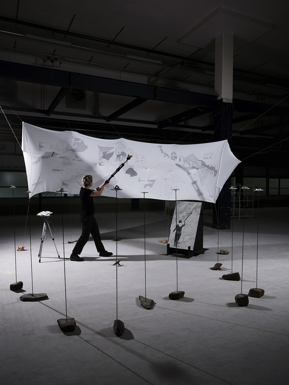
Site Drawing
"Inspired by open-source communities and DIY movements providing alternative ethics to the technological realm, Site Drawing: From GPS Tracking to Architecture is a low-tech spatial design and mapping methodology. Using a GPS receiver fixed to a telescopic stick, the user can track and record movements and space in 3D to within centimetres. Unlike current digital design practices that are based on a simulation created by satellite views and data extraction, Site Drawing performs the design in situ, building an architectural model that’s accurate and site-specific.
The project is influenced by the ethics of ecovillages and their critical approach to tools, locality and an embodied human-scale design. Following this, and using open-source websites like GitHub to host the data, the Site Drawing methodology tool proposes a a community-driven practice."