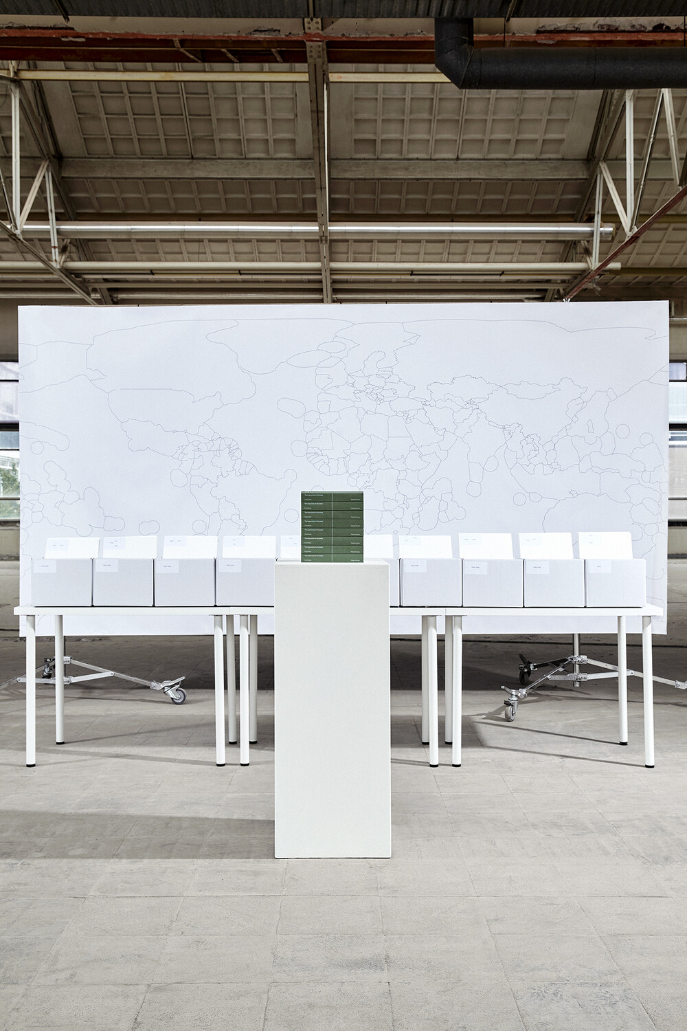
The Imprecision in Precision
Geopolitical borders are man-made constructs intended to shape, influence, order and divide the world. Philipp Doringer has produced a 700-page book containing all the world’s borders, a growing archive of every line ever drawn to represent borders collected in browsable files, and a world map depicting territorial thinking taken to an extreme. The intention is to demonstrate that the methodology of supposedly ordering our three-dimensional, dynamic planet through two-dimensional lines in fact adds more chaos, conflict, uncertainty and imprecision. It is an inquiry into the implications of dismissing the nuances of reality in favour of linear thinking and narrowly classifying all aspects of life.