Graduation project
The Map Tile
Twin de Rooy
“With new tools geographic maps can better represent the complexities of the real world”
What: A study into the possibilities of visualising multiple datasets in digital geographic maps, using the latest technical advances.
Why: Geographic maps for digital screens are still made with an analogue mindset, usually based on a fixed scale. Now that linking multiple datasets is becoming more important, it might be better to stop using this fixed and therefore limiting scale.
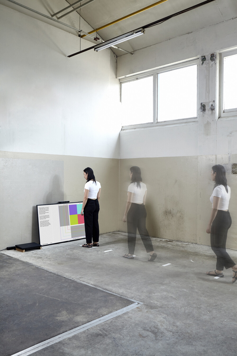
How: A map displaying airborne particles in the Netherlands between 2013 and 2016 serves as an example for a new way of map-making. Pixels in the map are given different colours for every year. While zooming in or out, the blend of colours reveals the change in air pollution over time.